
Grossglockner High Alpine Road Itinerary
It gives a concentrated, high-impact view of Austria by road, with Zell am See adding a strong side-trip option.

- Country
- Austria
- Region
- Europe
- Distance
- 48 km
- Suggested duration
- 1-2 days
- Best season
- May to October
- Difficulty
- Alpine toll road
Grossglockner High Alpine Road route map
- 1Bruck
- 2Fuscher Torl
- 3Edelweissspitze
- 4Heiligenblut
Why drive the Grossglockner High Alpine Road
Grossglockner High Alpine Road is a practical 1-2 days road trip through Austria, linking Bruck, Fuscher Torl, Edelweissspitze, Heiligenblut with mountain roads. The route is built for real-world planning: clear stop spacing, useful detours, and enough variety to work as more than a simple point-to-point drive.
Suggested itinerary
- Start with Bruck and Fuscher Torl for orientation, supplies, and the first signature viewpoints.
- Build the middle of the trip around Edelweissspitze, Heiligenblut, leaving time for side roads, local food, and short walks.
- Finish through Edelweissspitze and Heiligenblut and add Zell am See if weather and timing allow.
Main stops along the Grossglockner High Alpine Road
- Bruck
- Fuscher Torl
- Edelweissspitze
- Heiligenblut
Detours worth adding
- Zell am See
- Kaprun
- Hohe Tauern
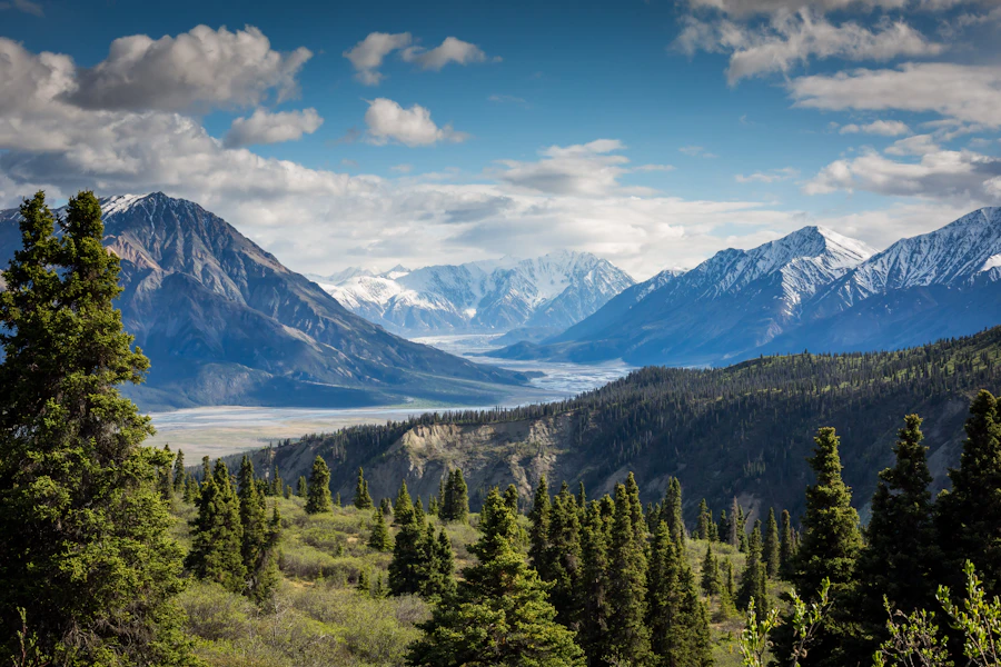
Scenes from the road

Book this road trip
Grossglockner High Alpine Road road trip FAQ
How long do you need for the Grossglockner High Alpine Road?
Plan on 1-2 days for the core 48 km drive. Add extra time if you want slower overnight stops, side roads, or longer detours.
When is the best time to drive the Grossglockner High Alpine Road?
The usual best window is May to October. Check local road closures and weather before committing to fixed dates.
What are the main stops on the Grossglockner High Alpine Road?
Core stops include Bruck, Fuscher Torl, Edelweissspitze, Heiligenblut.
Is the Grossglockner High Alpine Road difficult to drive?
The route is best described as: Alpine toll road. Build in time for fuel, rest stops, and changing conditions.
What detours are worth adding?
Popular detours include Zell am See, Kaprun, Hohe Tauern.
Compare this itinerary with the full atlas of scenic road trip pages.
Browse all road trips →More road trips
- Amalfi Coast DriveItaly · 50 km
- Austrian Alpine Lakes DriveAustria · 600 km
- Baltic Coast and Masuria LoopPoland · 1,100 km
- Basque Coast RouteSpain and France · 230 km
- Bohuslan Coast and ArchipelagoSweden · 600 km
- Corsica Round IslandFrance · 1,000 km
- Czech Bohemia Castles and Spa LoopCzechia · 520 km
- Czech Bohemia Castles LoopCzech Republic · 500 km
- Dalmatian Coast DriveCroatia · 640 km
- Douro Valley Wine RoutePortugal · 300 km
- Finnish Lakeland and Arctic Circle RouteFinland · 1,300 km
- Hungary Danube Bend and Balaton LoopHungary · 620 km