
Coromandel Loop Itinerary
It gives a concentrated, high-impact view of New Zealand by road, with Cathedral Cove adding a strong side-trip option.

- Country
- New Zealand
- Region
- Oceania
- Distance
- 309 km
- Suggested duration
- 2-4 days
- Best season
- November to April
- Difficulty
- Winding coastal roads
Coromandel Loop route map
- 1Thames
- 2Coromandel Town
- 3Whitianga
- 4Hot Water Beach
- 5Waihi
Why drive the Coromandel Loop
Coromandel Loop is a practical 2-4 days road trip through New Zealand, linking Thames, Coromandel Town, Whitianga, Hot Water Beach with coastal viewpoints. The route is built for real-world planning: clear stop spacing, useful detours, and enough variety to work as more than a simple point-to-point drive.
Suggested itinerary
- Start with Thames and Coromandel Town for orientation, supplies, and the first signature viewpoints.
- Build the middle of the trip around Whitianga, Hot Water Beach, Waihi, leaving time for side roads, local food, and short walks.
- Finish through Hot Water Beach and Waihi and add Cathedral Cove if weather and timing allow.
Main stops along the Coromandel Loop
- Thames
- Coromandel Town
- Whitianga
- Hot Water Beach
- Waihi
Detours worth adding
- Cathedral Cove
- Driving Creek
- Karangahake Gorge
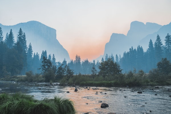
Scenes from the road

Book this road trip
Coromandel Loop road trip FAQ
How long do you need for the Coromandel Loop?
Plan on 2-4 days for the core 309 km drive. Add extra time if you want slower overnight stops, side roads, or longer detours.
When is the best time to drive the Coromandel Loop?
The usual best window is November to April. Check local road closures and weather before committing to fixed dates.
What are the main stops on the Coromandel Loop?
Core stops include Thames, Coromandel Town, Whitianga, Hot Water Beach, Waihi.
Is the Coromandel Loop difficult to drive?
The route is best described as: Winding coastal roads. Build in time for fuel, rest stops, and changing conditions.
What detours are worth adding?
Popular detours include Cathedral Cove, Driving Creek, Karangahake Gorge.
Compare this itinerary with the full atlas of scenic road trip pages.
Browse all road trips →More road trips
- Fiji Viti Levu LoopFiji · 500 km
- Great Ocean RoadAustralia · 243 km
- Kakadu and Arnhem WayAustralia · 650 km
- New Zealand South Island LoopNew Zealand · 1,600 km
- North Island Thermal LoopNew Zealand · 1,200 km
- Nullarbor Plain CrossingAustralia · 1,200 km
- Pacific Coast Touring RouteNew Zealand · 800 km
- Red Centre WayAustralia · 1,135 km
- Tasmania Great Eastern DriveAustralia · 300 km
- The Savannah WayAustralia · 3,700 km
- Alaska HighwayCanada and United States · 2,232 km
- Almaty to Charyn Canyon LoopKazakhstan · 800 km